Skip to content

Forensic Cartography for Legal and insurance

We uncover the truth with advanced satellite imagery and precise geospatial analysis to strengthen your defense in fire damage litigation

Get Started

Understand, Restore, and Rebuild

Quickly understand disruptive impacts with precise geospatial analysis and recovery planning.

Damage Mapping

Detailed post-event maps for immediate impact analysis and response.

Audit Support

Data-driven visualization and reporting for insurance and legal support.

Turn Data Into Your Best Defense

We provide the data, the tools, and the experts for a comprehensive fire defense strategy.
  • Utility companies are increasingly hit with costly fire damage lawsuits but often lack the solid evidence needed to prove cause or non-negligence.
  • As the risks rise with climate change and aging infrastructure, the financial and reputational stakes are higher than ever.
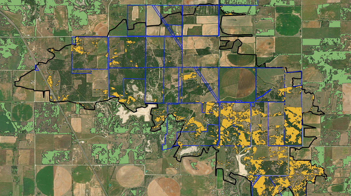
  • We use satellite imagery and advanced data analytics to provide a clear account of fire origin and progression to help build a stronger defense.

Services

Know The Cause. Prove Your Case.

Strengthen your defense with precise fire mapping, cause analysis, and real-time monitoring—all from one trusted source.
Fire Mapping

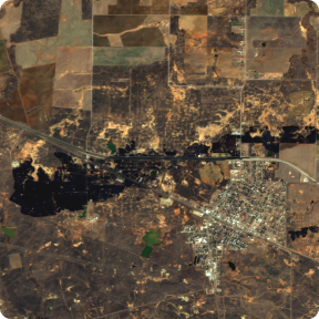
Gain precise evidence of fire origins and paths to strengthen your legal defense with clear, detailed satellite maps.
Fire Mapping

Gain precise evidence of fire origins and paths to strengthen your legal defense with clear, detailed satellite maps.

Impact Assessment

Rapidly evaluate infrastructure impacts, estimate repair costs, and optimize recovery planning.
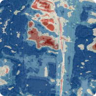
Cause Analysis

Determine the true cause of fires with expert data analysis, proving diligence and reducing liability.

How it Works

From Data To Decisive Action

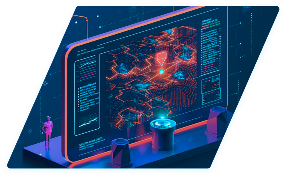
Integrating real-time data with AI, we provide predictive insights for proactive risk management and a continuously updated view of your operations.
Machine Learning

Our sophisticated models use machine learning to analyze vast, multimodal datasets—spanning time, space, and multiple data types. This analysis predicts potential risk scenarios, allowing you to stay ahead of threats and respond swiftly.

Big Data

By leveraging real-time satellite data, we provide timely, accurate risk assessments. Our big data capabilities mean you get a comprehensive picture of what’s happening on the ground, as it happens, enhancing your situational awareness.

Actionable Intelligence

We use advanced geospatial analysis to turn raw data into actionable insights, enabling faster decision-making and a more agile response to changing conditions, ultimately strengthening your operational strategy.

Customer Success

Echospectra, by the numbers

Here’s a snapshot of what Echospectra can do for you.

+ $2M

Recovered revenue from unauthorized attachments

21 Days

Faster data

21 days

Average annual
direct savings

5x Faster

Than manual
identification

+30%

Increase in decision
response accuracy

$80m

Dismissed property
damage claim

Ready To Bring Your Team Into
The New Era Of Utility Operations?

Ready To Bring Your Team Into The New Era Of Utility Operations?

More Services

Additional services to enhance your infrastructure’s safety and efficiency.