Skip to content

Protect Your Energy Infrastructure with Geospatial Intelligence

Pinpoint Risks, Protect Assets, and Prevent Disasters with Expert Geospatial Consulting

Get Started

Pinpoint Critical Risks

Optimize spatial and temporal insights, saving millions in operational efficiencies.

Risk Identification

Accurately identify hazards to enhance infrastructure safety.

Solution Deployment

Leverage spatial analysis to achieve significant cost savings.

Identify, Analyze, And Mitigate Risks Across All Aspects Of Your Operations Before They Become Issues

Utilize real-time data and advanced analytics to detect vulnerabilities, deploy targeted solutions, and maintain uninterrupted operations.
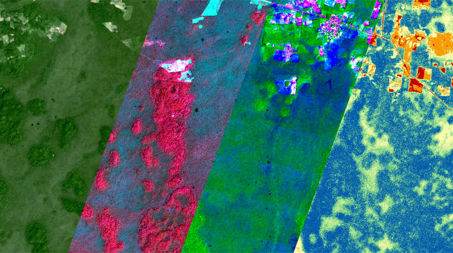
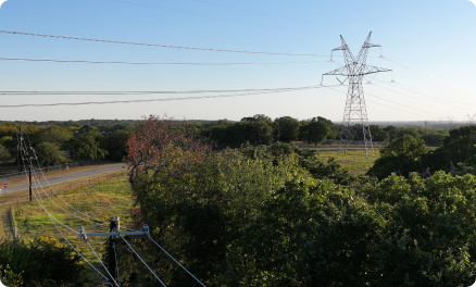
  • Energy infrastructure faces constant threats—aging equipment, extreme weather, and shifting environmental conditions. Don’t wait for these risks to become costly problems.
  • We provide real-time monitoring and predictive analytics, so you have the insights needed to act quickly and confidently.
  • We pinpoint vulnerabilities and predict potential issues, allowing you to focus your resources where they’re needed most.

Services

Observe, Predict, Act. With Geospatial Intelligence.

Reduce downtime, cut costs, and keep your operations safe with targeted, data-driven actions.
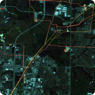
Risk Mapping

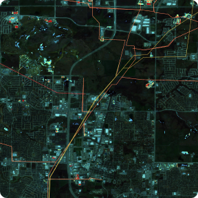
Detailed maps highlight risks to infrastructure, like new buildings and roads, or changes in vegetation health.
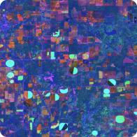
Risk Mapping

Detailed maps highlight risks to infrastructure, like new buildings and roads, or changes in vegetation health.

Predictive Analysis

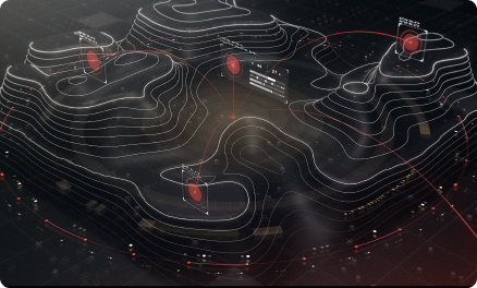
Machine learning models analyze historical data to forecast potential risk scenarios.
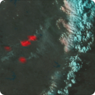
Continuous Monitoring

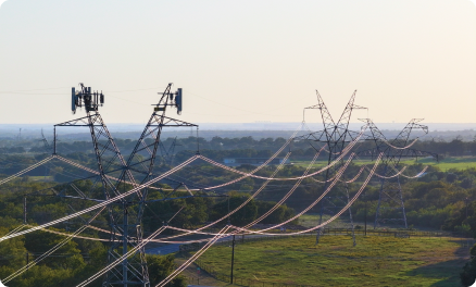
Real-time data collection and surveillance identify emerging threats for proactive response.

How it Works

From Data To Decisive Action

Integrating real-time data with AI, we provide predictive insights for proactive risk management and a continuously updated view of your operations.

Machine Learning

Our sophisticated models use machine learning to analyze vast, multimodal datasets—spanning time, space, and multiple data types. This analysis predicts potential risk scenarios, allowing you to stay ahead of threats and respond swiftly.

Big Data

By leveraging real-time satellite data, we provide timely, accurate risk assessments. Our big data capabilities mean you get a comprehensive picture of what’s happening on the ground, as it happens, enhancing your situational awareness.

Actionable Intelligence

We use advanced geospatial analysis to turn raw data into actionable insights, enabling faster decision-making and a more agile response to changing conditions, ultimately strengthening your operational strategy.

Customer Success

Echospectra, by the numbers

Here’s a snapshot of what Echospectra can do for you.

+ $2M

Recovered revenue from unauthorized attachments

21 Days

Faster data

21 days

Average annual
direct savings

5x Faster

Than manual
identification

+30%

Increase in decision
response accuracy

$80m

Dismissed property
damage claim

Ready To Bring Your Team Into
The New Era Of Utility Operations?

Ready To Bring Your Team Into The New Era Of Utility Operations?

More Services

Additional services to enhance your infrastructure’s safety and efficiency.